| Avery Color Studios, Inc. 1-800-722-9925 |
| Great Lakes Publisher for Over 50 Years! |
|
|
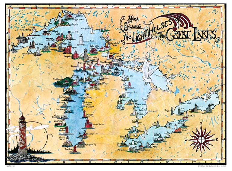
Maps & Chart Great Lakes Lighthouse Map Features over 80 of the region’s historic lighthouses. Full color map printed on 24” x 18” high- quality acid-free paper. Available rolled, or mounted on high density pressed wood (PLAK-IT®), with a oak-like border. Item No. LMR01
Price: $15.00 (rolled)
PLAK-IT®: $90.00
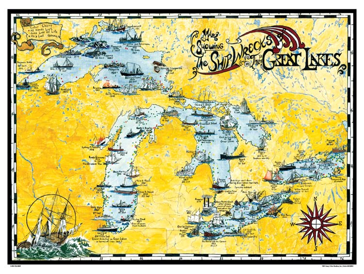
Great Lakes Shipwreck Map Shows nearly 70 historic shipwrecks and notes the locations of dozens of others. Full color map printed on 24” x 18” high- quality acid-free paper. Available rolled, or mounted on high density pressed wood (PLAK-IT®), with a oak-like border. Item No. SMR02 Our posters and maps are available using
Price: $15.00 (rolled)
PLAK-IT®: $90.00
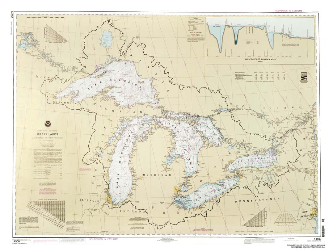
Great Lakes Chart An exact reproduction of NOAA Great Lakes Chart #14500, showing the entire Great Lakes. Not to be used for navigation. Full color printed on 24” x 18” high-quality, acid-free paper. Available rolled, or mounted on high density pressed wood (PLAK-IT®), with a oak-like border. Item No. GLCR01
Price: $15.00 (rolled)
PLAK-IT®: $90.00
Lake Erie NOAA Chart An exact reproduction of NOAA Lake Erie Chart. Not to be used for navigation. Full color printed on 24” x 18” high-quality, acid-free paper. Available rolled, or mounted on high density pressed wood (PLAK-IT®), with a oak-like border. Item No. LECR01
|


|
Avery Color Studios, Inc. 511 D Avenue • Gwinn, Michigan 49841, Business phone: 906-346-3908, Fax: 906-346-3015, 800-722-9925, e-mail: averycolor@averycolorstudios.com